
Remnants of Lee Cause Flooding in Pennsylvania, Rivers Could Hit Major Flood Levels
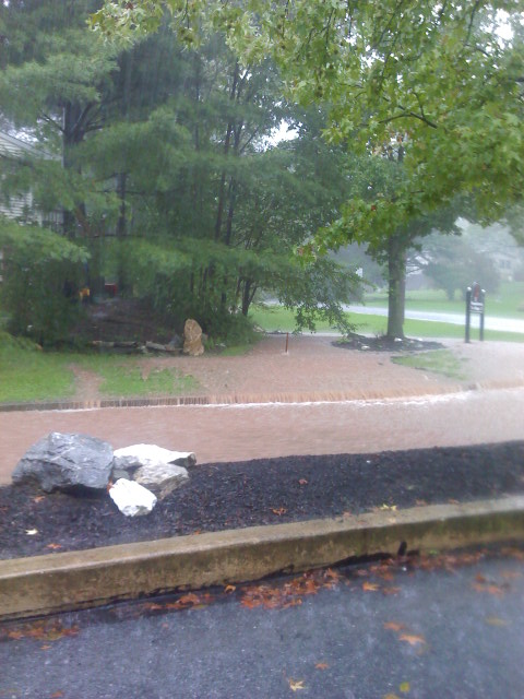
It has been a day of flash flooding, periods of drenching rain and water rescues for parts of the state, with some of the worst problems on either side of the Susquehanna. The remnants of Tropical Storm Lee have been pushing streams and creeks over their banks and overloading drainage systems. By mid-morning, some areas near Harrisburg had gotten almost 6 inches of rain, with 7 reported in Bethlehem and near Dover in York County.
Peter Young, warning coordination Meteorologist at the National Weather Service in State College, says because the rain is associated with a tropical system, it has been coming in bands. This means some areas are getting hit harder than others. Flood watches and warnings were issued for much of Central and Eastern Pennsylvania.
There is a risk of major flooding along the Susquehanna River if the forecast holds. Ben Pratt, a Hydraulic engineer with the Susquehanna River Basin Commission, says the river should crest at Harrisburg by Friday evening.
Major flooding is also possible in Marietta to the south and Wilkes Barre to the north. Pratt says people who have interests or live along the river need to pay close attention to the forecast.
The Pennsylvania Emergency Management Agency has raised its readiness to level 2 at the Emergency Operation Center. Officials have brought in emergency preparedness liaison officers from key agencies such as the National Guard, State Police and PennDOT as they plan for the possibility of major flooding on the Susquehanna, Delaware and Juniata Rivers.